
January 6, 2025 · 4 min read
Mount St. Helens, Washington
By the Credence Charter Bus team
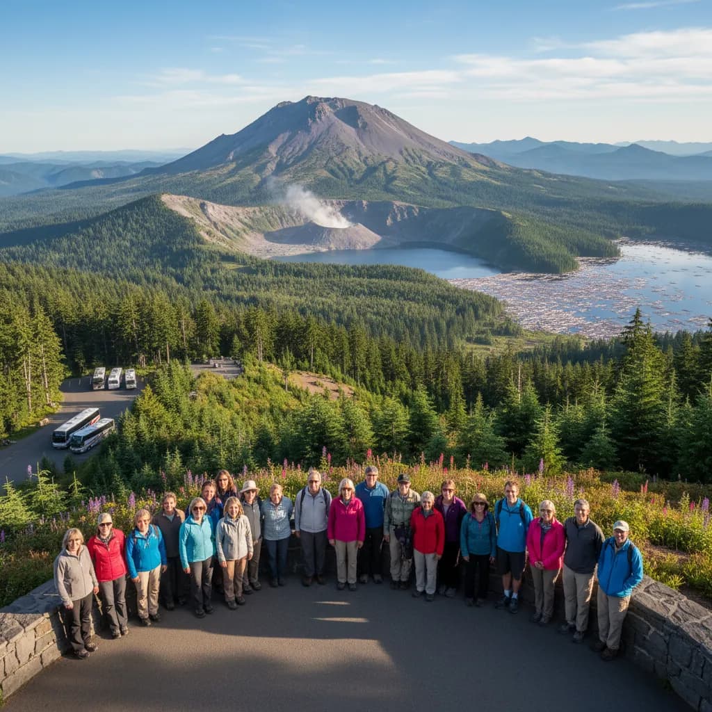
On 18 May 1980 the north face of Mount St. Helens slid away in the largest landslide in recorded history, and the eruption that followed removed 1,300 feet from the summit and flattened forest across 230 square miles. Fifty-seven people died. Four decades on, the blast zone is a working laboratory in how an ecosystem rebuilds, and a charter bus to Mount St. Helens brings a group to one of the most legible geological sites in the country.
Check current road access before you book anything
State Route 504, the main approach up the western corridor, has suffered road and bridge damage in recent years, and access along the upper section including Johnston Ridge Observatory has been affected. Conditions and closures on this corridor have changed repeatedly.
Confirm what is actually open with the Forest Service before you fix a date or a route. This is not a formality — the difference between reaching the ridge and stopping short of it is the difference between seeing into the crater and not.
Three approaches, and they do not connect
The mountain is approached from three separate directions and there is no road linking them around the volcano. Picking the wrong one for what your group wants to see costs hours.
- West, via SR 504 from Castle Rock: the main visitor corridor, with the Silver Lake Visitor Center at the bottom and the closest views into the breached crater at the top. Subject to the closures above.
- South, via Cougar: Ape Cave, a two-mile lava tube that is a genuinely memorable stop for a school group, plus Lava Canyon. Cool underground year-round, and flashlights are essential.
- East, via Windy Ridge: the closest road approach to the crater from the far side, on a long, remote forest road that is seasonal and not suited to large vehicles.
Which charter bus suits the trip
- Forty to fifty-six: a full-size charter bus is comfortable on SR 504 and the western corridor, which is a well-engineered highway built after the eruption.
- Twenty to thirty-two: a mini bus is the better vehicle for the southern approach to Ape Cave, where the roads and parking are tighter.
- Ten to fourteen: a sprinter van is the only sensible choice for the eastern Windy Ridge road.
Ape Cave has its own requirements: it is around 42 degrees inside year-round, the floor is uneven lava, and every person needs a real flashlight. Entry has been managed by timed reservation in recent seasons, so check before you plan it as a group stop.
What the group will actually see
The blast zone is the point. Standing dead trees still lie in parallel rows pointing away from the crater, forty-plus years after they were knocked flat in a few minutes. Around them, young forest, elk and wildflowers have returned in a sequence that ecologists have documented from the beginning.
For a school group this is unusually good teaching ground: an event with a precise date, visible consequences, and an ongoing recovery you can point at. The visitor centers carry seismic records, survivor accounts and the story of David Johnston, the volcanologist who radioed his last message from the ridge that now carries his name.
Getting there
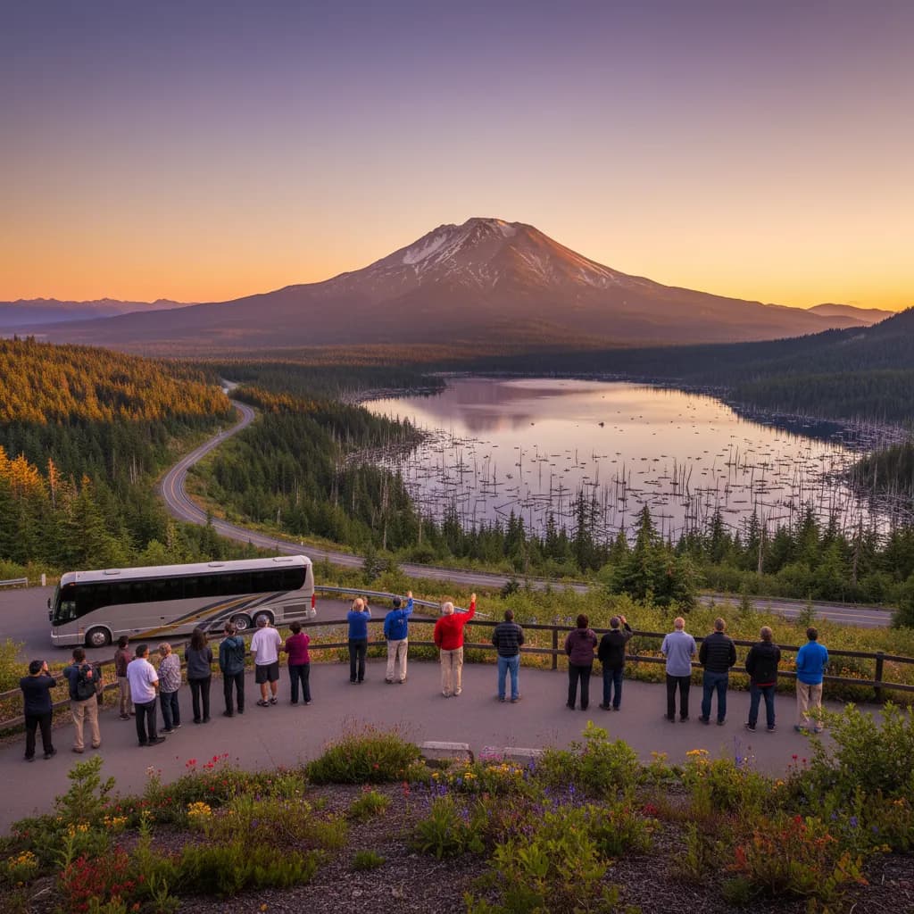
Castle Rock, at the bottom of SR 504, sits on Interstate 5 about an hour north of Vancouver and roughly two hours south of Seattle. Longview is twenty minutes away and Olympia around an hour.
From the interstate to the top of the western corridor is about an hour each way, so the mountain is a full day from Seattle or Portland. Groups searching for charter bus rental near me for a St. Helens trip should plan the day around one approach only.
One practical note for the western corridor: there is very little in the way of food or fuel once you leave Interstate 5, and the drive up is long enough that a group will want both. Sort lunch at Castle Rock or bring it, and make sure the vehicle is fueled before the turn — it is roughly two hours round trip from the highway to the top and back with no services in between.
When to go
June through October is the season. The upper western corridor and the eastern approach are closed by snow through winter and spring, and visitor center hours contract sharply outside summer. Late summer gives the clearest views into the crater; earlier in the season there is more snow in the blast zone and more water in the streams.
Booking the trip
Send your date, headcount and which approach you intend to use, and confirm current road status first — we will plan around whatever is open. Our school trip transportation quotes carry the documentation districts require.
Request an all-in quote and you will usually have an itemized price back the same day, driver, fuel, tolls and taxes included.